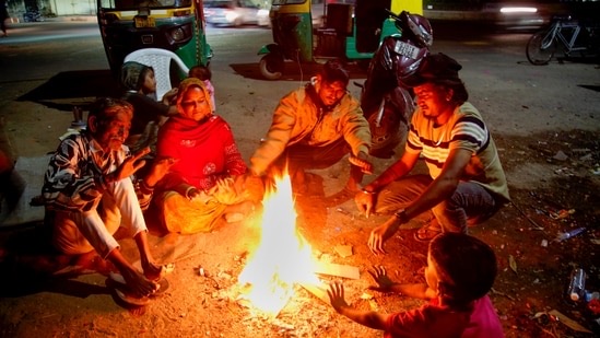
The IMD stated that a western disturbance is likely to affect northwest India from night of January 4. The India Meteorological Department (IMD) on Sunday predicted that a fresh western disturbance is likely to arrive in north India from January 4, causing snowfall and rain in the region in the days leading up to it.
In a statement, the IMD stated that a western disturbance is likely to affect northwest India from night of January 4 and cause scattered rainfall and snowfall in the western Himalayan region from January 1 to 3. The weather department has also predicted further widespread rainfall and snowfall on January 4 and 5 in the region.
Cold wave conditions
IMD scientist Soma Sen Roy told news agency PTI that the current western disturbance had moved away from the north Indian region and cold wave conditions subsided as a result, only persisting in the western Himalayan region.
“We had severe weather on December 27-28, thereafter we are having cold wave, and fog conditions. What has really stopped cold wave conditions is lack of strong winds, because of it, the fog conditions that we realised yesterday, it has uplifted, and now it is lying as low clouds throughout north India. The situation is more akin to cold day conditions,” she said.
She also added that the new western disturbance would likely cause a rise in the minimum temperature by 3-5 degrees. The scientist said that during this period rain is expected over Punjab, Haryana, Rajasthan, and Uttar Pradesh.
The IMD in its statement said that dense to very dense fog and cold day conditions are likely over northwest India during the next 2-3 days. Cold wave conditions are also continuing in isolated pockets of Jammu and Kashmir.


